Himalayan Glacial Floods: Are Warning Systems Ready?

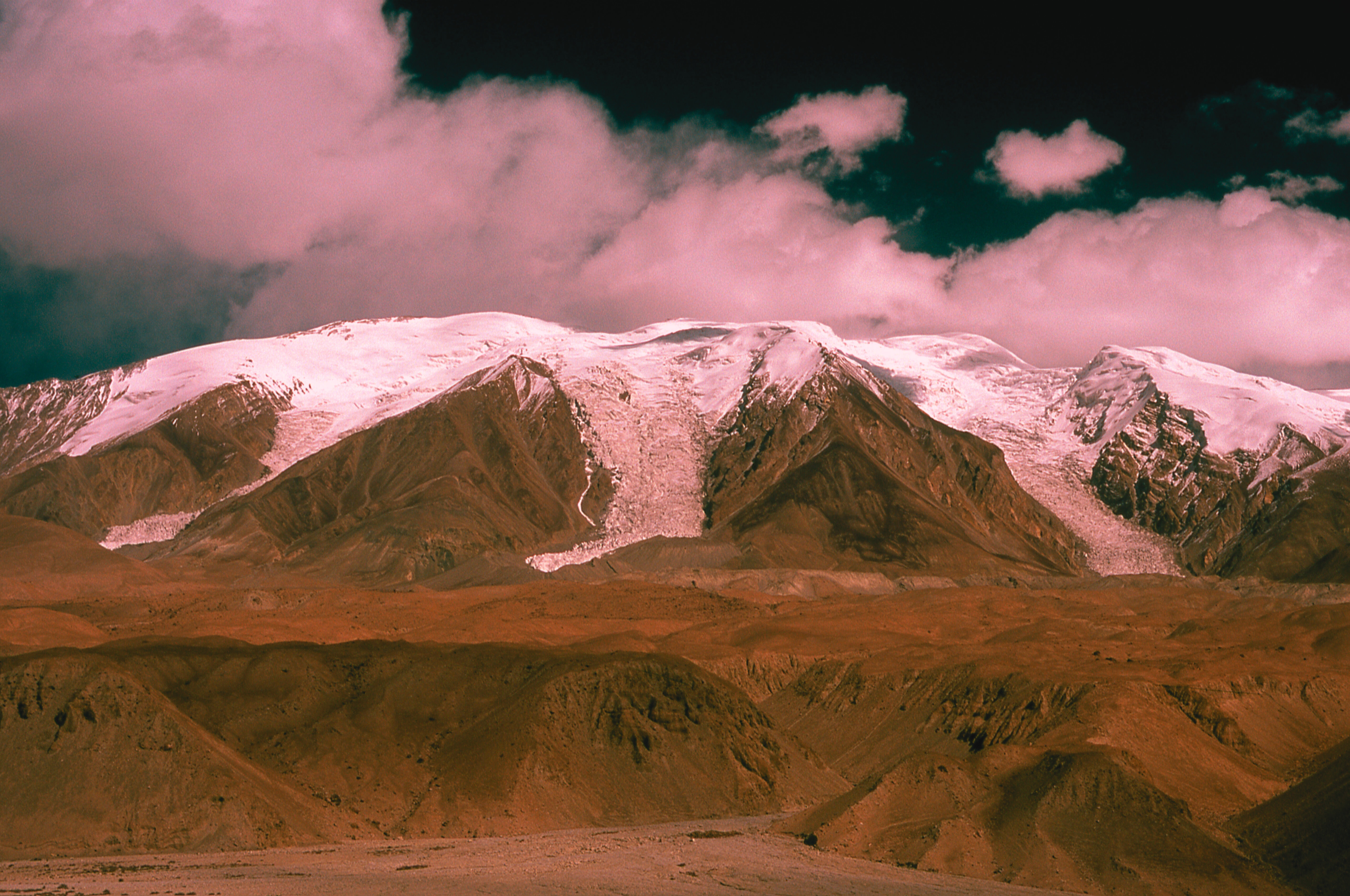
In late August 2026, a glacier collapse in Nepal sent water, ice, rock, mud, and debris hurtling through the Bhote Koshi and Trishuli river systems. In a matter of minutes, water levels rose by as much as nine metres, destroying almost everything in their path.
Towns and villages high in the mountains were suddenly buried or swept away. Entire buildings were pulled into the floodwaters. More than 1,400 people were killed, more than 5,000 people are still missing, and the Nepalese government has now ended rescue operations. 33,000 people are now displaced and the government is seeking $20 million in climate justice.
The Nepal-Tibet border region isn't the only part of the Himalayas at risk. Glaciers across the Hindu Kush Himalaya are losing ice twice as fast as they were before 2000, according to the International Centre for Integrated Mountain Development (ICIMOD). As they retreat, new lakes are forming behind unstable natural dams of rock and debris.
Research published by Cambridge University Press in January 2026 found that elsewhere in the Himalayas, five lakes in Kashmir are classified as having very high susceptibility to glacial lake outburst floods. If breached, potential outbursts could expose 2,704 buildings, 15 major bridges, roads, and a hydropower project. Knowing where the danger is isn't the only problem. Another concern is whether we can detect an impending failure early enough to protect people downstream.
Scientists are mapping which Himalayan glacial lakes pose the greatest risk
Satellite imagery, geographic information system (GIS) modelling and field surveys allow scientists to rank glacial lakes by how likely they are to burst and how much damage a flood could cause.
The Kashmir study assessed 155 glacial lakes, looking at factors including:
- dam material;
- surrounding slope;
- upstream lake cascades;
- seismic activity;
- permafrost conditions.
Researchers identified five lakes that posed the greatest risk. The Kashmir study is a good start, and the Himalayas need more assessments like it. Current mapping still lets smaller lakes slip through. In August 2024, two small glacial lakes above the village of Thame in Nepal's Everest region burst and destroyed homes, a school and a clinic. Neither lake was among the potentially dangerous glacial lakes identified in a 2020 assessment by ICIMOD.
Spotting a dangerous lake is only part of the task. Authorities also need to know when the natural dam holding it back is about to give way. Every extra minute of warning could potentially save hundreds, if not thousands, of lives.
Real-time glacial lake monitoring remains the biggest gap
Mapping tells us where the risk is, and can inform where monitoring systems need to be implemented. A glacial lake outburst flood (GLOF) early warning system watches a lake continuously for signs of instability. Systems already running in the Himalayas show what this involves. At Cirenmaco, a high-risk glacial lake in Tibet, researchers have built a system that tracks lake level, movement in the moraine dam, ice collapse and river flow downstream. At South Lhonak Lake in Sikkim, monitoring stations combine high-resolution cameras, a weather station and lake-level sensors.
Unfortunately, the lakes are remote, meaning power and communications are difficult to maintain. The catastrophic August 2026 flash floods in Nepal show how hard it is to monitor unstable glaciers and glacial lakes in remote areas with limited resources. Authorities were relying on satellite imagery to monitor newly formed lakes after the floods, but officials stated that monitoring was constrained by a delay in when satellite images became available.
Early warning systems only work if alerts reach people
The UN's Early Warnings for All initiative sets out four parts of an effective early warning system: understanding the risk, monitoring the hazard, getting warnings out and making sure people are ready to respond. Mapping and monitoring cover the first two. The last two depend on a signal from a sensor at a lake reaching the communities downstream in time, and on those communities knowing where to go.
The challenge is to create a reliable end-to-end warning system that can be installed, maintained and kept running in the extreme cold, high altitude and isolation where glacial lakes form.
Glacial flood warning technology needs to become cheaper, tougher, and easier to scale
The next challenge is scale. ICIMOD rates around 200 glacial lakes across the Hindu Kush Himalaya as dangerous, and more are forming as glaciers retreat. Custom systems built one lake at a time are slow and costly to scale. Sensors need to be cheaper, use less power, and withstand extreme cold, snow, wind, and inaccessible terrain.
Communications networks need to be similarly robust, capable of transmitting messages despite mobile coverage being poor or absent.
Jammu and Kashmir is already moving in this direction. Early-warning systems planned for three hydroelectric projects include upstream sensors and communications equipment designed to provide at least one to two hours of response time. Glacial flood warnings typically give a few minutes to an hour of notice, so that lead time would be a significant improvement.
Glacial lake outburst floods are a growing global risk
The August flood in Nepal shows how quickly a hazard high in the mountains can reach the towns below. Scientists are still working out what triggered the collapse and whether warming played a part. The wider trend is clearer. Glacial lakes have grown rapidly in number and size since 1990, and a 2023 study in Nature Communications found that 15 million people worldwide live within reach of a potential outburst flood. High Mountains in Asia is the most exposed region, with the Andes facing a similar level of danger. ICIMOD expects these floods to become significantly more frequent across the Hindu Kush Himalaya by the end of the century.
Mapping, monitoring and warning systems will need to keep pace, along with evacuation plans for the communities at risk.
Closing these gaps calls for people who can solve very different problems. Some will design equipment that runs for months on little power high on a mountainside and transmits lake-level and weather data to authorities in real time. Others will turn satellite images and readings from ground sensors into forecasts that officials can use to inform disaster contingency plans.
As warming reshapes the world's high mountains, there is a gap for people with these skills to help protect the communities that live below them.
FAQs
Got A Question?
Everything you need to know about impact careers, sustainable job opportunities and our talent network in one easy place.
Our House Views content library and Awareness to Action series share insights on sectors, roles and career moves. Many candidates use these resources to narrow their focus before speaking with us.
Because the numbers are clear. Green and transition sectors are growing faster than the rest of the economy, attracting capital, talent and innovation. Positioning yourself there is a commercial decision, not just a values one.
Awareness to Action is our interview and insight series. We speak with leaders across the impact economy and turn real conversations into practical guidance for careers, teams and capital.
Yes, we regularly feature impact investors, founders and sustainability leaders in interviews and House Views content. If you have something valuable to share with the impact economy, we would love to hear from you.